-
 8.1 33.12.062025-03-28 versi terbaru
INFORMATION CENTRE FOR EVACUATION CENTRE AND FLOOD LEVEL IN MALAYSIA
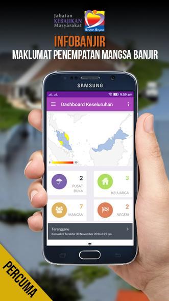
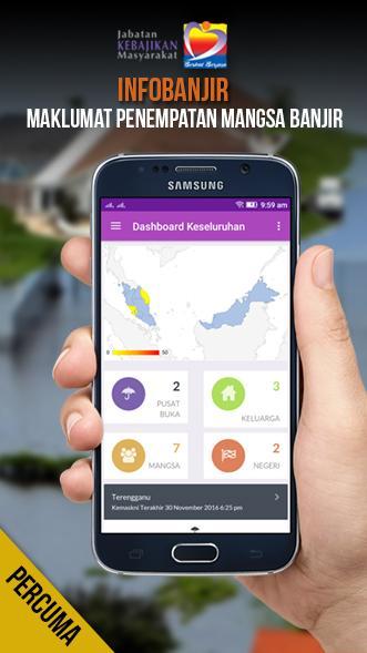
This application provides location of information Centre of Evacuation Centre and Flood Level throughout Malaysia.
Get information such as the Disaster Relief Centres;
- Evacuation Centre and Flood Level nearby in every area.
- Road closed due to flooding
- Updated the water level of the river
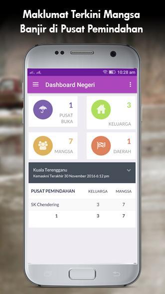
- Capacity and capacity during a season in any evacuation centers.
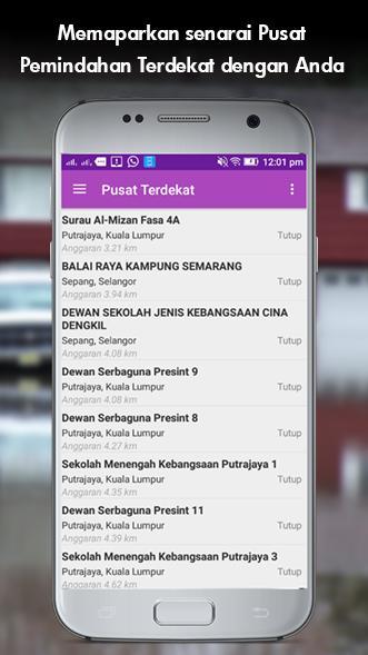
- Distance transfer center nearest you!
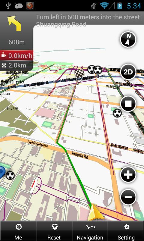
- Maps and directions to the nearest evacuation center.
- Statistics Victims
- Map Helipad
- Help Flood Victims
- Storage Facility
What's New in the Latest Version 33.12.06
Last updated on Sep 28, 2018 v33.12.06-InfoBencanaJKM (sebelum ini dikenali sebagai infoBanjir)
-Merangkumi kesemua bencana yang melibatkan pembukaan pusat pemindahan, berbanding sebelum ini hanya melibatkan bencana banjir sahaja.
-Tambahbaik antaramuka
-Lebih material design
-Link Data ke server http://InfoBencanaJKM.jkm.gov.my/
-Peta statistik pada dashboard negeri
-Senarai fasiliti penyimpanan

