-
 8.1 33.12.062025-03-28 Latest Version
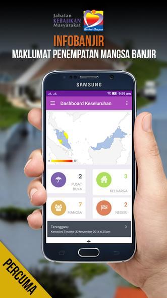
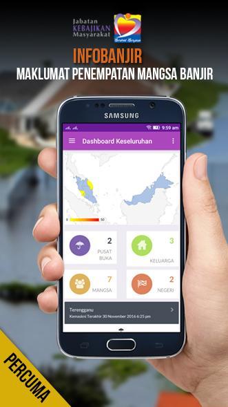
Information Center for Evacation Center and Flood Level in Malaysia
This Application Provides Location of Information Center of Evacation Center and Flood Level Throughout Malaysia.
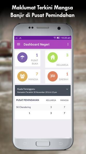
Get information such as the Disaster Relief Centres;
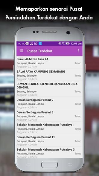
- Evacation Center and Flood Level Nearby in Every Area.
- Road Closed Due to Flooding
- Updated the water level of the river
- Capacity and capacity during a season in any evacuation centers.
- Distance Transfer Center Nearest You!
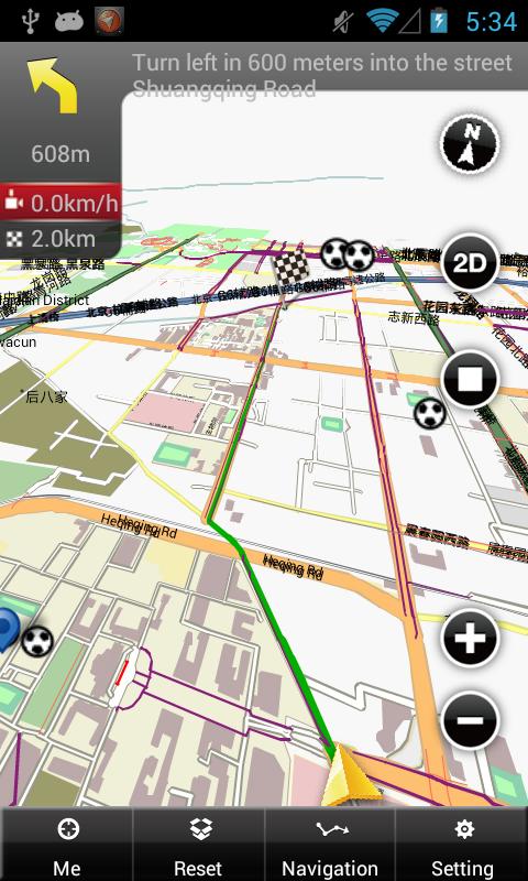
- Maps and Directions to the Nearest Evacation Center.
- Statistics Victims
- Helipad map
- Help Flood Victims
- Storage facility
What's New in the Latest Version 33.12.06
Last updated on Sep 28, 2018 v33.12.06- InfoBencanaJKM (before this was recognized as infobanjir)
-Ambumuman all disasters involving the opening of the transfer center, compared to this only involved the Sahaja flood disaster.
-Add a good one
-more material design
-Link data to server http://infobencenjkm.jkm.gov.my/
-The statistical detail on the country's dashboard
-Seeted storage facilities

