NextGIS Mobile
9.4
2.8.0
2024-12-26
Latest Version
Mobile GIS for field data collection and editing.
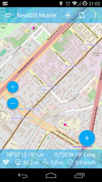
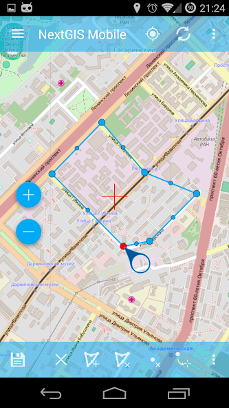
NextGIS Mobile is a geographic information system for your mobile device that can:
- show multi-layer map (layers can come from online and offline sources)
- change visibility and layers order
- navigate the map (panning, zoom in, zoom out)
- edit vector data (both geometries and attributes) online and offline
- record tracks
- show coordinates, speed, elevation etc.

Copyright © 2014-2026 downsm.com reserves all rights. | Privacy Policy | DMCA Disclaimer | Terms of Service | Cooking Policy